

![10 Years Of Cartographers Choice [at A Glance]](external/slider/slider_t_72145.jpg)


![10 Years Of Cartographers Choice [at A Glance]](external/slider/slider_72145.jpg)
 Article Sections
 Article Categories
 Recent Forum Threads

The Atlas Awards 2023 are now over and without any further ado, here are the winners:
Best large area map
In this category usually the first and second-place maps are winners. We had a tie for second though so we have 3 winners this year.
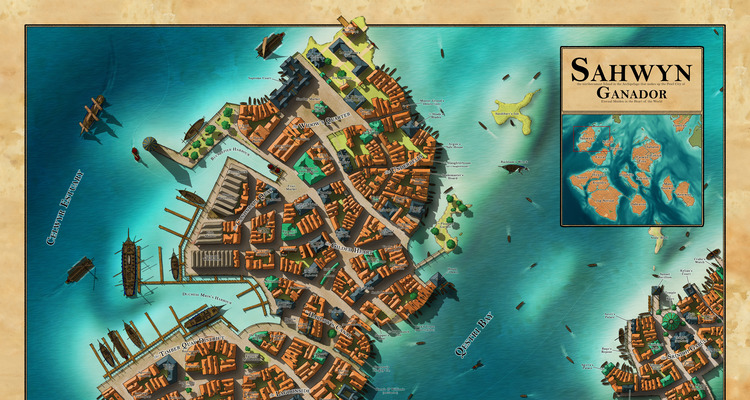
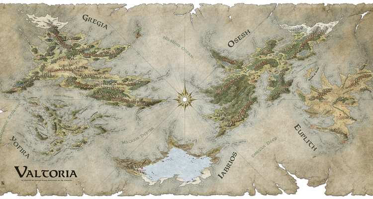
The Wheel of Time - the Westlands in the Third Age, by Dimension Door
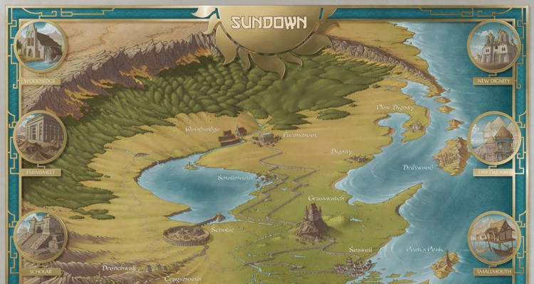
The shores of Evestion, by Voolf
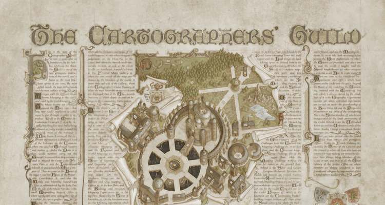
The Mappa Discworld, by Marc Moureau
Best local area map
Justin Grindal's City of Urbs, by J.Edward
Best small area map
High Horn Keep By J.Edward
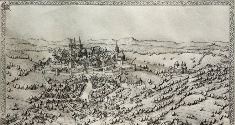
Best black and white map
Lapidelvbri dvcatvs tabvla, by Batat
Favourite map
La marche de kanoba, by Voolf
Congratulations to all the winners!

Lost Realms world map and a more detailed map for a DND campaign setting.
Thread Starter: Dritzz78Hello, I am new here but I am in need of a couple of maps. One is a world map and the other is a more detailed map with key locations marked on it. I
Last Post By: Tiana Today, 04:16 PM