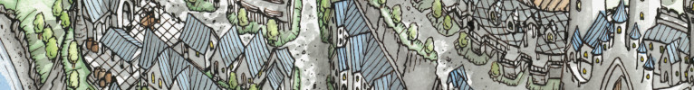
Good looking map, even though it's Inkarnate - personally, am not a fan of map making programs, preferring standard graphics applications, but that's just me, not a judgment on your choice.
True perspective mapping requires using vanishing points and horizons, even if only implied. This basically means that things get smaller the further away from the viewers perspective. If your mapping program allows you to rescale your map elements like your mountains and trees, you might effectively achieve implied perspective - it's not easy though, and you might not achieve it perfectly. The only map I have that qualifies as implied perspective was a hand-drawn map, so much easier to achieve than using software only, (I use a vector drawing program, Xara Designer Pro, that easily rescales objects) though I didn't use actual perspective, just implied. This was my November 2007 winning entry for a monthly challenge here - create Old West Map Objects, which I did, and this was a map created using those objects...
GP
superstition.jpg


 Reply With Quote