Hi Ker'ion, just so you know, I make an app which does the zoom and pan for large collections of tiles - see sig. Its a VTT (virtual table top) style app so its not web browser based but for other users of the same app they can get the map transferred across the net. It does have a web interface to it so you can get at bits of it but thats more klunky.
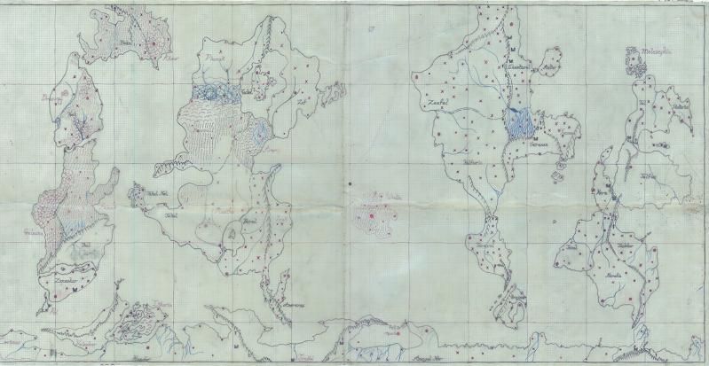
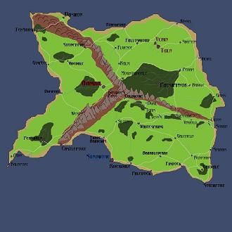
We have what we call the CWBP here - the community world building project - which is where members here can map bits of a common world map in various styles. So a demo of the app running that is here.
There was a zoomable version of Randalls map here - XKCD 1110 in a zoomable version - visualization created by dividuum or here Map of xkcd #1110
You can use GeoServer or something like WorldWind to do it too but in all of the solutions I have seen they all use a static set of backdrop images to do the map which is different to my app. So if you change the map then you need a complete set to redo the map again. Ok for hosting with occasional updates but no good for something more dynamic.
Anyway - hope thats useful.


 Reply With Quote


