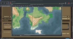
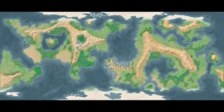
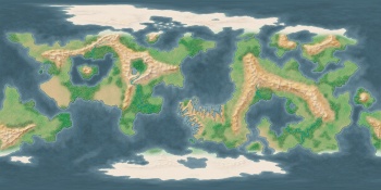
It's a nice looking map. I like it.
I don't know if you're looking for realism or not (some people aren't), but here are a few things to think about.
Large enclosed seas like you show are rare on earth. I'm not sure what scale this map is, but even if it's a small area I would think that normal geologic forces would fill in those basins in a short time. Earth's biggest (the Black Sea or perhaps the Caspian) are relatively small compared to the size of the continents.
In a similar note, the mountains, particularly in the continent on the left, have a lot of circular valleys with no obvious drainage. Erosion either fills in a basin or a river cuts an egress and you have a canyon of valley.
Your coastlines all have about the same fractal dimension, which is a high-falutin' way of saying they all have the same degree of jaggedness (except for your saw-toothed peninsula, of course). Look at a map of Earth. Different coastlines are smoother or more jagged. Think about why that may be (currents, tectonics, etc.) and think about how those forces might play out in your world.
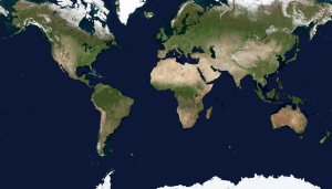
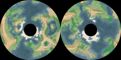
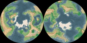
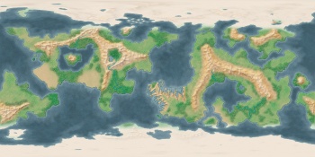
If this is supposed to be a map of the whole world, or most of it, there are some other issues to think about. If it's a whole world, the land mass that extends across the eastern border and wraps around to the west does not line up. Are you including all the way to the poles? If so, are you using some fancy map projection? The poles are single points in real life. In rectangular projections that show the pole, that point is smeared out across the entire top of the map. You can't have ice cap and/or land as well as sea of varying depths at one point on the globe's surface.
All that technical stuff aside, I still like this map. You have a nice color palette. The way you suggest different depths of the ocean and the continental shelves is very well done. For a second attempt, it is done very well indeed. I wish my second attempt - or my tenth - looked half as good.


 Reply With Quote


