Hi guys! I'm swamped with IRL at the moment, but I appreciate the comments/questions. Thanks a lot!
Redrobes,
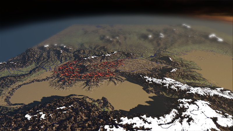
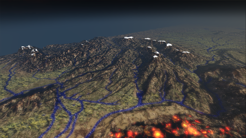
I'll tackle the water question in brief. The UDK/Unreal3 material editor allows you to have targa images define pretty much any component of your surface (so, in this example, I used a hand edited copy of some free DEM river-valley-registration of the IRL area). I used this "river map" not only as a mask to paint the Blue diffuse color onto my diffuse texture, but also in a separate node-network to define ONLY where I want the surface highlights to show up. These highlights are animated by some simple noise maps, and some rotation nodes further up in the network (which otherwise would cover the entire landscape). At this point, I do want a few independent water surfaces, but only for the Seas. The rivers are painted right onto the landscape. I do have to note that the vector river data, and my DEM source didn't match up 100% so I do have some streams flowing "uphill" when it cuts a corner faster then the DEM heightfield does.
Tools used: This was not done "only" in UDK. I have extensively used Photoshop and L3DT (bundysoft.com), along with some work in the student version of Mudbox. Most of the visual detail was added with L3DT, and I'm currently using that program to generate a more complex "texture splatting", a set of alpha maps that tell the engine where to paint, say grass vs rock vs mud vs sand. It is also not to IRL vertical scale, and has been "ResBumped" (a custom version of the workflow I developed from ideas @ shadedrelief.com), and as mentioned had 8 major mountain ranges edited into the DEM data.


 Reply With Quote


