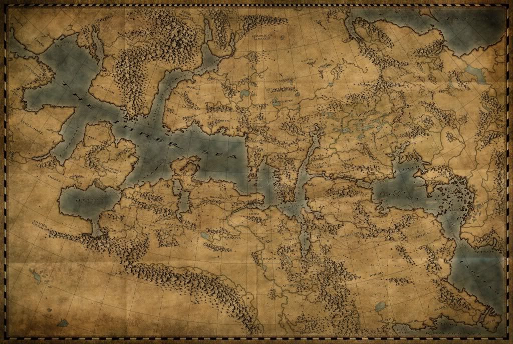
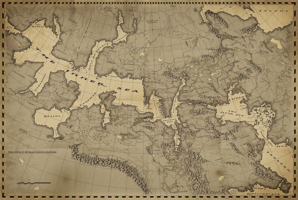
well the true map is still greyscale as I'm not yet done adding in nations and keys etc., though the current 'colour-test' (since that's what im concentrating on at the moment) stands like this (though im basing this off of an older version of the grey-scale map, so the mountain highlights are now done and various un-keyed regions have now been completed also):
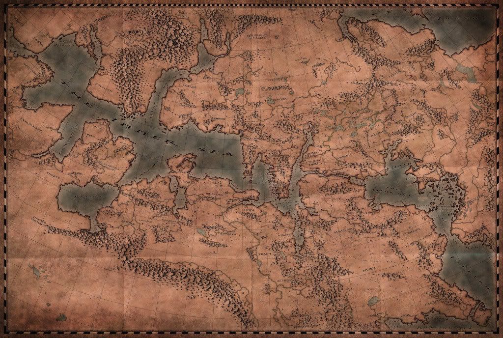
Though I must say I am not 'feeling it' very much. I'm thinking of going back and changing it to something more akin to the below image which i made quickly now based off of an older version of the map, which I feel shows off the type of era (18th - 19th century) that the setting currently stands in (i agree with some people here who have said the image above looks like an antique map, which is good in and of itself all, but it really shouldn't be, based on the year and nation in the setting that I was meant to have been produced in in-world it's like saying a functional (not artistic or replica-antioque) mpa produced today looking like something from the Atlas Maior, which just doesnt make sense. not too sure im explaining myself correctly though.
The same stands for the mountains, though I'm having difficulty trying to figure out hat style they should otherwise be im. I'll probably finish off the greyscale version and cook up 2 variant colour overlays - one more subtle, 18th - 19th century looking and another one with the grungy colours and take it from there. or perhaps a cross between the two? its amazing what a bit of burn around the page edges and some subtle paper texture can do, even to a grey-scale map (perhaps with a small amount of colourised hue/saturation to bring out some discolouring in the paper).
Please let me know what you think or of any suggestions as im struggling at the moment, trying to find an identity for the map!


 Reply With Quote


